Ardales · Málaga province
Caminito del Rey: tickets, hours and how to get there
A one-way walk of 7.7 km, with about 3 km of walkways fixed to the Gaitanes gorge. Official prices, opening days and practical tips.
Today
Opening hours for every month are on the Opening hours page.
Checked against the official website on October 22, 2026 · Official source
In short
- Official tickets are sold on the official website, caminitodelrey.info: 10 € for the general ticket and 18 € for the official guided visit. The official site says to buy only from authorised sellers.
- Open Tuesday to Sunday from 9:00. Closed on Mondays (a few special Mondays are open) and on 24, 25 and 31 December and 1 January. Hours run until 14:50 or 17:20 depending on the season (the official site does not say which months): check the official calendar and book weeks ahead.
- The route is one-way, from north (El Kiosko, Ardales) to south (El Chorro): 7.7 km in total, about 3 km of them walkways. Allow 3 to 4 hours including the access paths.
- A helmet is provided at the entrance. Children under 8 are not admitted, and ages 8 to 17 need an adult and an original ID. The walk is not recommended for people with vertigo.
- The station is El Chorro-Caminito del Rey: check train times on renfe.com. A shuttle bus (2.50 €) links El Chorro with the north access.
A walkway above the Gaitanes gorge
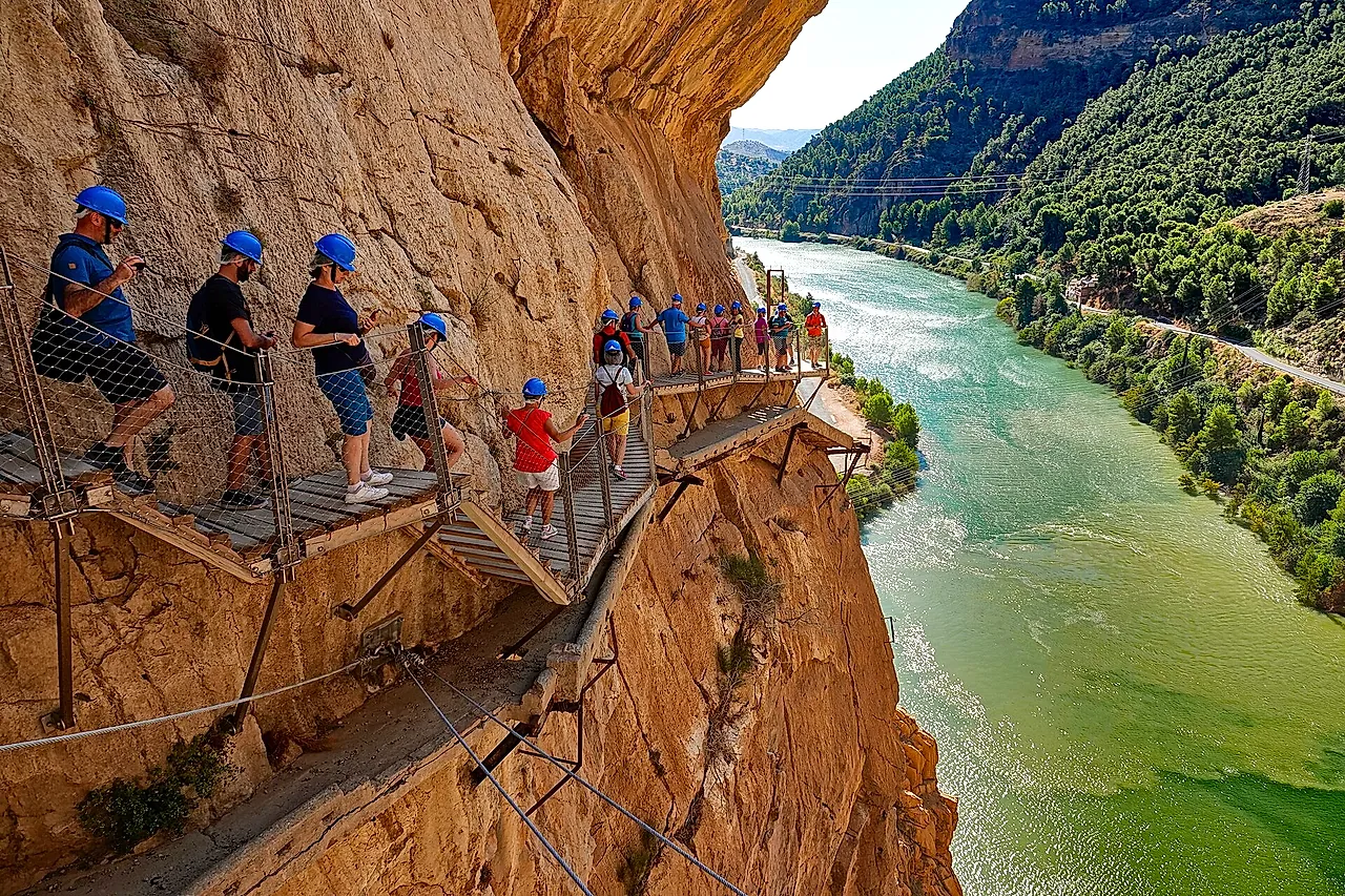
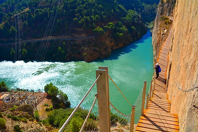
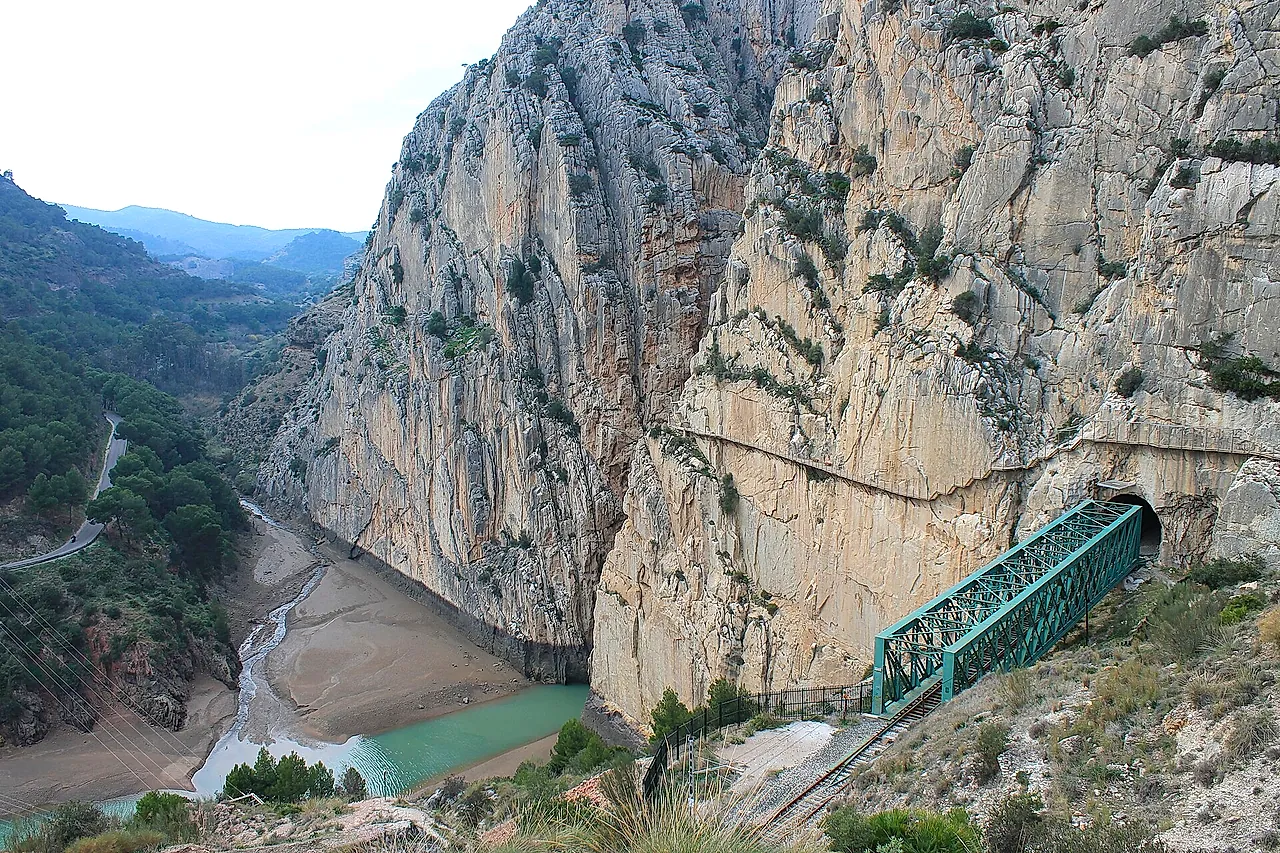
The Caminito del Rey is a path and walkway fixed to the wall of the Desfiladero de los Gaitanes, the gorge cut by the Guadalhorce river inside the natural park of the same name, in Málaga province. According to the official site, the walkways run about 100 metres above the river and are mostly 1 to 1.5 metres wide.
The whole route is 7.7 km one-way, from north to south: about 4.9 km of access paths and 2.9 km of walkways, says the official FAQ. Another page of the official site gives about 8 km, so treat the figures as approximate.
From the Gaitanejo dam to the hanging bridge
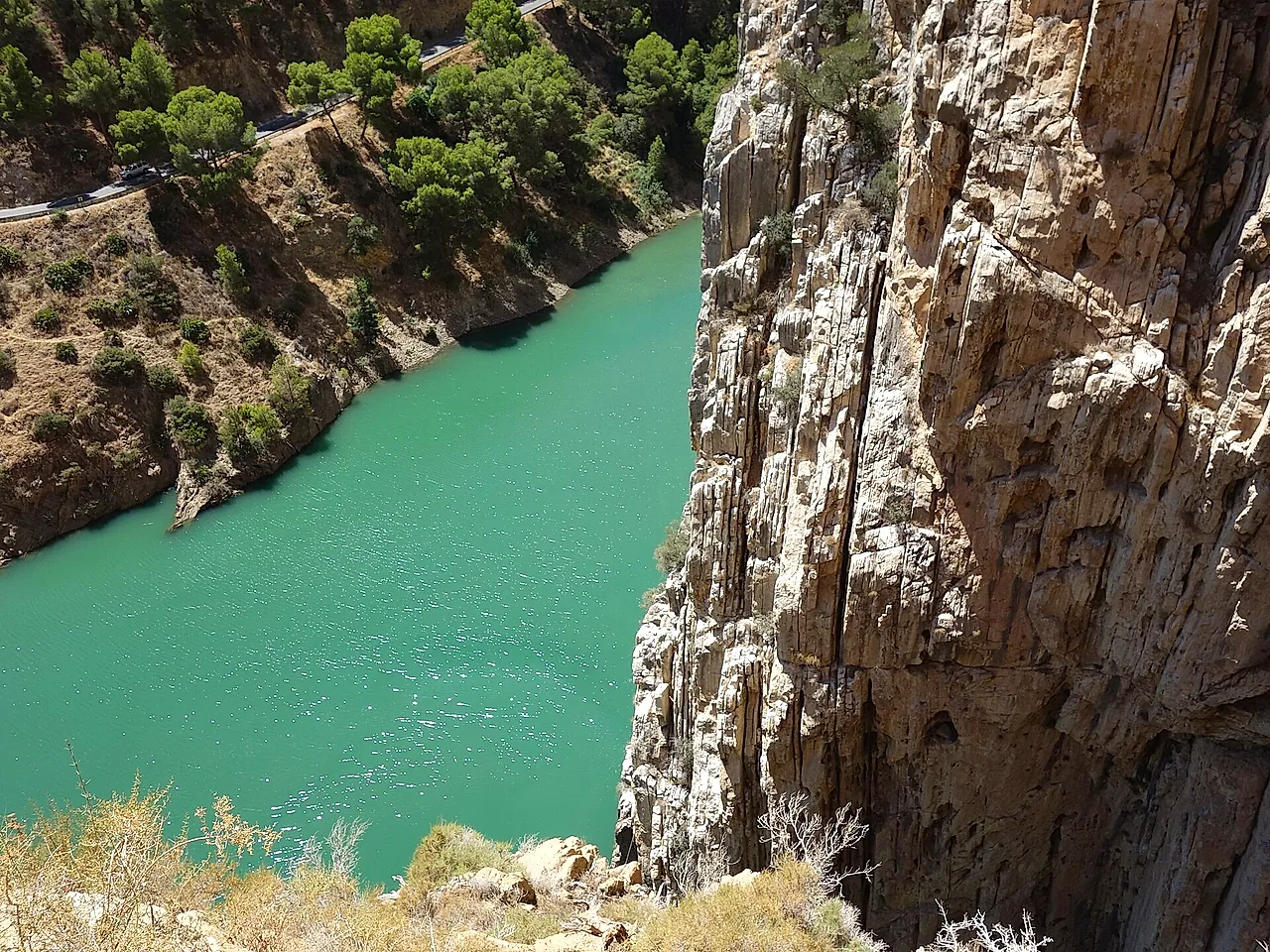
From the north access you walk to the control cabin near the Gaitanejo dam, where your ticket is checked and you receive a helmet. Then the route passes three gorges: the narrow Gaitanejo gorge, the Tajo de las Palomas, and the Desfiladero de los Gaitanes, which the official site describes as the most spectacular part, with a glass balcony and a hanging bridge.
Between the gorges there is a green valley, the Hoyo valley, with a canal and rest areas. The walk ends at the south gate, followed by a path of about 2.1 km, mostly downhill, to El Chorro, where you return the helmet. Our guide to what to see follows the route in order.
A path built for workers, named after a king
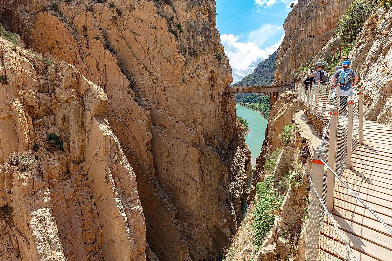
According to the official history page, the path was built between 1901 and 1905 as a service route for workers and materials between two hydroelectric drops, the Gaitanejo and El Chorro. It took its name from the visit of King Alfonso XIII on 21 May 1921.
After years of decay and fatal accidents in 1999 and 2000, the old path was closed and then restored. It reopened to the public on 28 March 2015, according to a note from the University of Granada.